

(File Photo: RCMP)
From one extreme to the other is something Saskatchewan residents are used to when it comes to the weather.
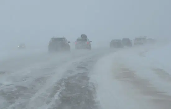
So after daytime highs in the 30’s this week for many areas, Snowfall Warnings are now in effect for the southwest corner of the province, including Swift Current and Maple Creek.
As much as 20 cm’s could fall in some areas by Friday night, especially over the Cypress Hills region.
Environment Canada’s Mike Russo said snow in May is not unusual, but it is strange after seeing high’s in the 30’s just days before.
Russo said a ridge of Arctic high pressure is what’s driving temperatures down, allowing for rain to become snow.
“The ridge extends all the way down into the southwestern corner of the province,” he said. “We have a northeasterly flow that’s coming out of the ridge and that’s pushing the cooler Arctic are into the area,” Russo said.
Regina and Moose Jaw won’t see snow, but single digit highs and much needed showers will dominate the forecast over the next few days.
Air Quality Advisories are also in place thanks to smoke moving in from wildfires in Manitoba today.
The Highway Hotline will also update road conditions.